VUELTA OLAZ TRAIL

VUELTA OLAZ TRAIL

Route data

Lumbier (Piscinas) - 30T x=639342 y=4723578
Distance
32 Km
Circular route
Difficulty
Difficult
Max. elevation
600 m.
Max. elevation
600 m.

Weather forecast

Lumbier

Weather Image 20°C
Real feel 20°
broken clouds
  • Tue
    22/09

    Weather Image

    24° /16°

    Humidity Image 32%

  • Wed
    23/09

    Weather Image

    29° /18°

    Humidity Image 26%

  • Thu
    24/09

    Weather Image

    31° /20°

    Humidity Image 22%

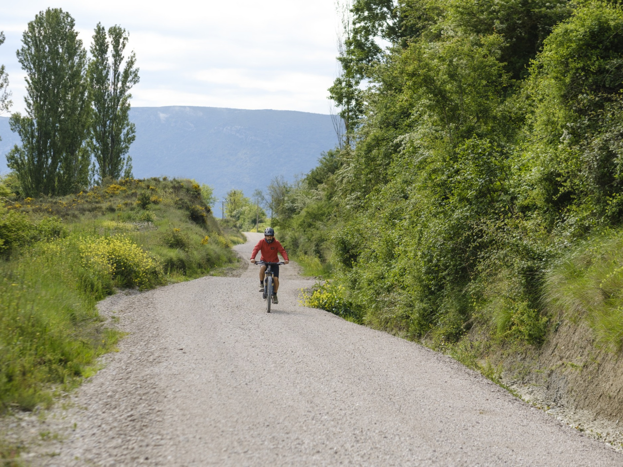
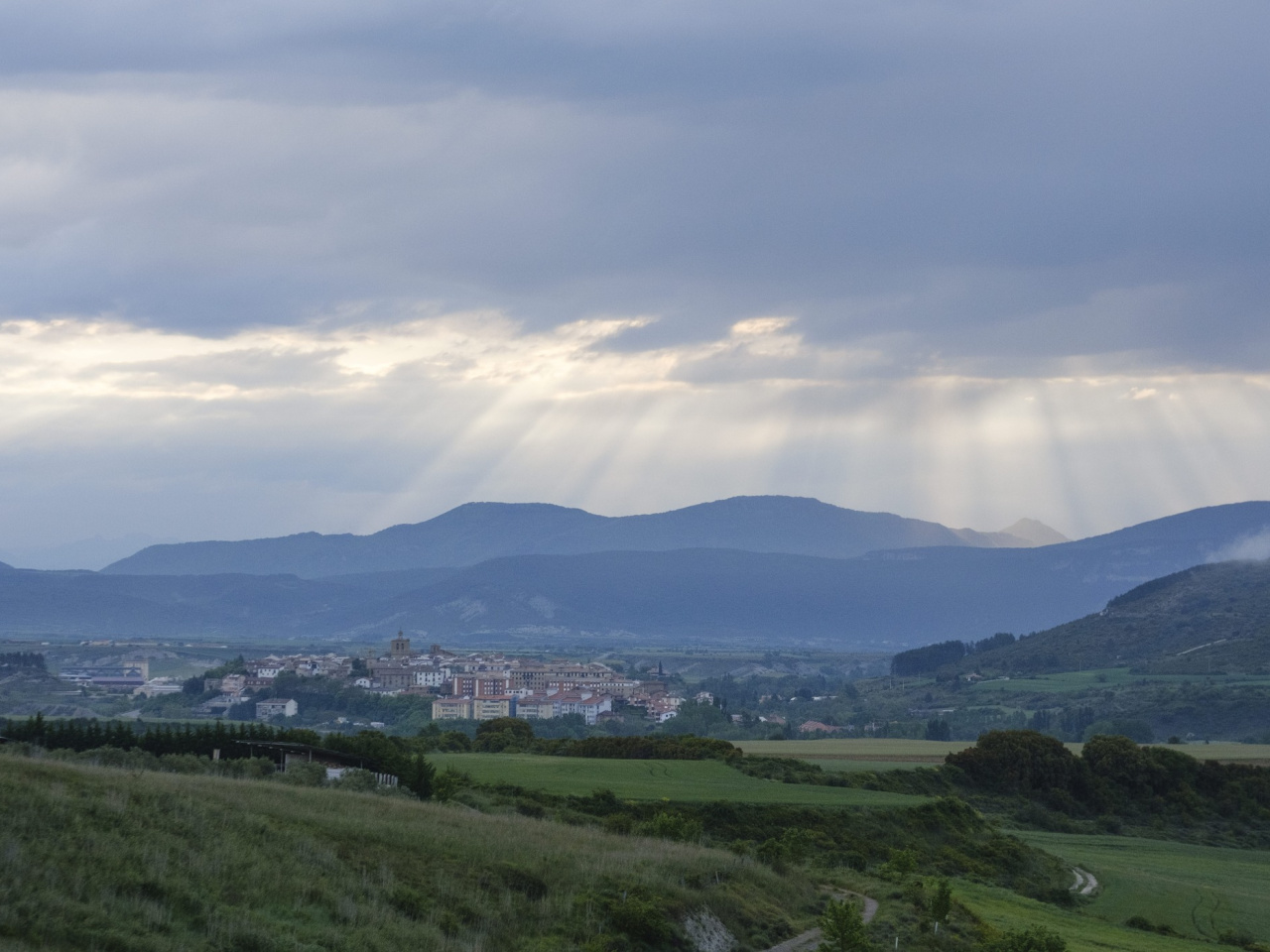
This ideal cycling route runs through the breathtaking scenery of the Ibargoiti Valley and the Sierra de Tabar mountains, ending with views of the River Irati.

This mountain bike or gravel route starts in Lumbier and enters the impressive landscape of Olatz. From the top of Loiti, it heads north into the Ibargoiti valley to skirt the western slope of the Sierra de Tabar. The track continues along the Camino de San Vicente to the village of Rípodas, where it returns comfortably to Lumbier through the scenery of the Camino Natural del río Irati.

Weather forecast

Lumbier

Weather Image 20°C
Real feel 20°C
broken clouds
  • Tue
    22/09

    Weather Image

    24° /16°

    Humidity Image 32%

  • Wed
    23/09

    Weather Image

    29° /18°

    Humidity Image 26%

  • Thu
    24/09

    Weather Image

    31° /20°

    Humidity Image 22%