Lumbier Hermitage Trail

 Back
Back 

Route data
Lumbier (Piscinas) - 30T x=639342 y=4723578
Lumbier (Piscinas) - 30T x=639342 y=4723578

Distance
10 Km
Circular route

Difficulty
Easy

Max. elevation
600 m.

Max. elevation
600 m.
Weather forecast
Lumbier
 19°C
19°CReal feel 19°
broken clouds
-
Tue
22/09
24° /17°
 31%
31%
-
Wed
23/0930° /18°
26%
-
Thu
24/09
31° /19°
21%
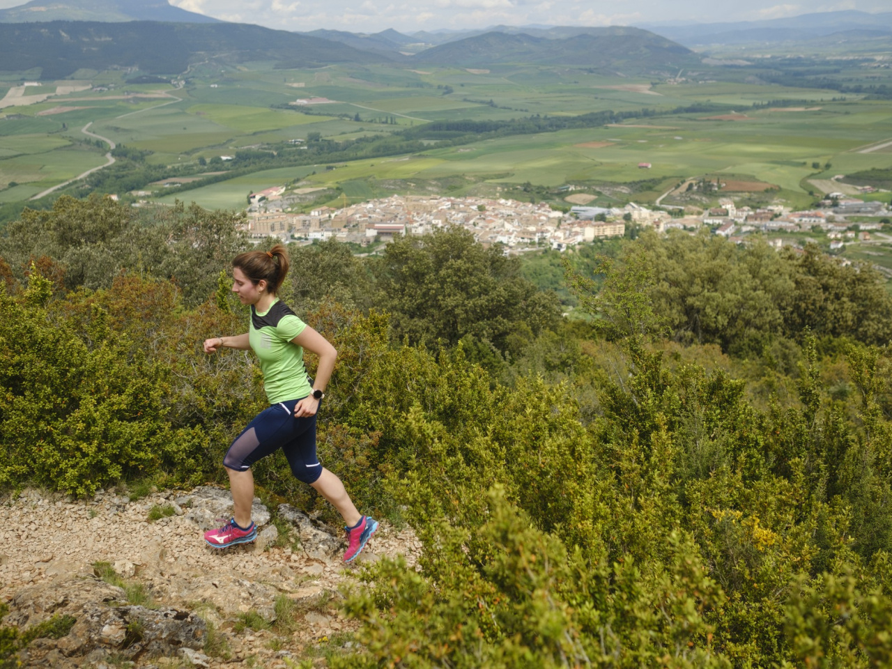
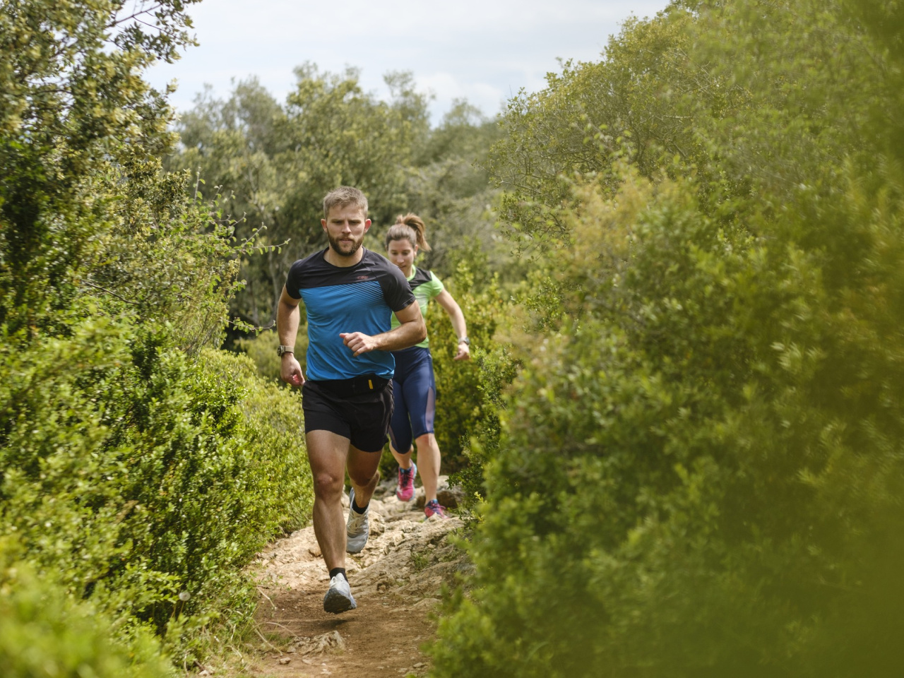
The route features panoramic views and challenging trails through stunning natural surroundings, ideal for hikers and nature lovers.
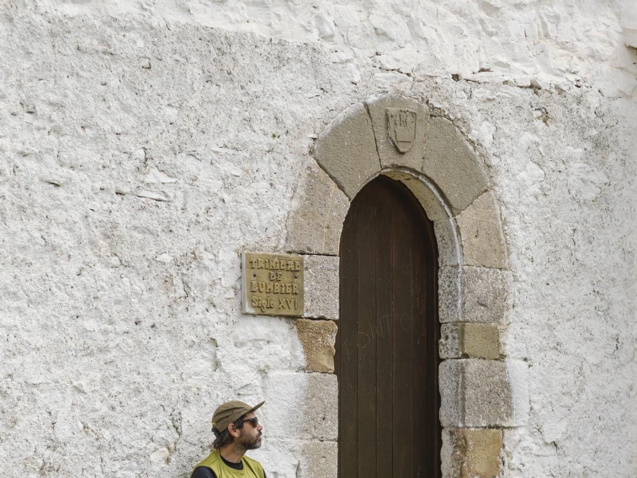
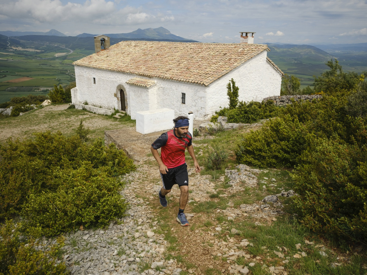
The route begins at the Lumbier swimming pool car park and climbs the Camino de las Cruces toward the Trinity Chapel. It continues uphill through the Korzarana Ravine toward the summit of Romastaca. The path passes the southern base of the peak and descends to a saddle, heading north toward the Selva Ravine before following the Camino de Alfayar back to the starting point.
Weather forecast
Lumbier
19°CReal feel 19°C
broken clouds
-
Tue
22/0924° /17°
31%
-
Wed
23/0930° /18°
26%
-
Thu
24/0931° /19°
21%