SAN GREGORIO TRAIL

SAN GREGORIO TRAIL

Route data

Lumbier (Piscinas) - 30T x=639342 y=4723578
Distance
4.6 Km
Circular route
Difficulty
Very easy
Max. elevation
30 m.
Max. elevation
30 m.

Weather forecast

Lumbier

Weather Image 19°C
Real feel 19°
broken clouds
  • Tue
    22/09

    Weather Image

    24° /17°

    Humidity Image 31%

  • Wed
    23/09

    Weather Image

    30° /18°

    Humidity Image 26%

  • Thu
    24/09

    Weather Image

    31° /19°

    Humidity Image 21%

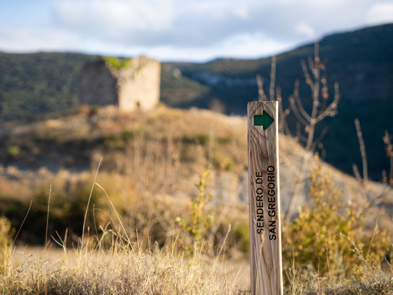
This 4 km route suits all abilities and offers views of the river, the Leyre mountain range, and the pre-Pyrenean landscape. It passes a site with a medieval tower and an information panel.

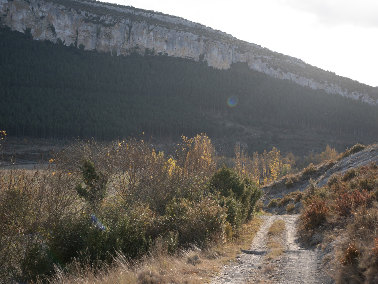
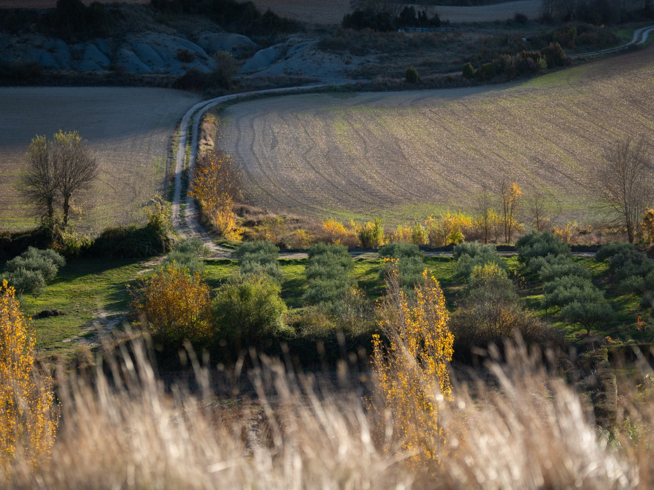
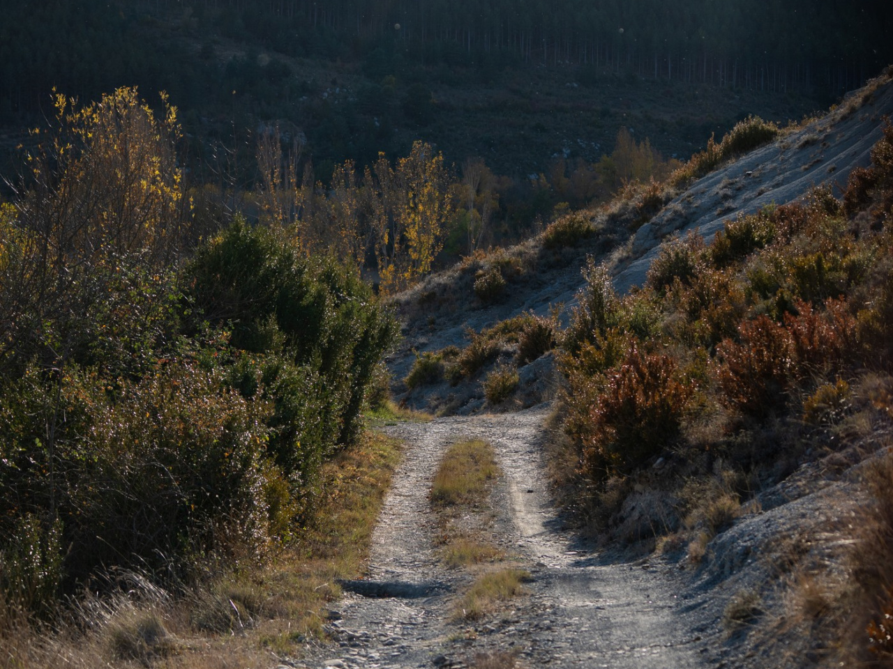
The 4-kilometre out-and-back route is relatively easy and suitable for all ages. It follows traditional paths and tracks along the right bank of the Salazar River, a Special Conservation Area. The path initially runs alongside riverside vegetation, then climbs through fields to reach areas of grey-blue marl typical of the Pre-Pyrenean Basins, where Cretaceous sea deposits emerge. The Tower of San Gregorio archaeological site features a visible tower and a small enclosure. The site offers views over the Salazar River, the Leyre Mountains, and the Pre-Pyrenean landscape. An interpretive panel provides information about the 15th-century medieval watchtower, which is included in the Archaeological Inventory of Navarre.

Weather forecast

Lumbier

Weather Image 19°C
Real feel 19°C
broken clouds
  • Tue
    22/09

    Weather Image

    24° /17°

    Humidity Image 31%

  • Wed
    23/09

    Weather Image

    30° /18°

    Humidity Image 26%

  • Thu
    24/09

    Weather Image

    31° /19°

    Humidity Image 21%