SALINAS TRAIL

SALINAS TRAIL

Route data

Salinas Ibargoiti - 30T x=624074 y=4727905
Distance
4.2 Km
Circular route
Difficulty
Very easy
Max. elevation
60 m.
Max. elevation
60 m.

Weather forecast

Salinas de Ibargoiti

Weather Image 19°C
Real feel 19°
broken clouds
  • Tue
    22/09

    Weather Image

    24° /16°

    Humidity Image 36%

  • Wed
    23/09

    Weather Image

    30° /19°

    Humidity Image 25%

  • Thu
    24/09

    Weather Image

    32° /21°

    Humidity Image 22%

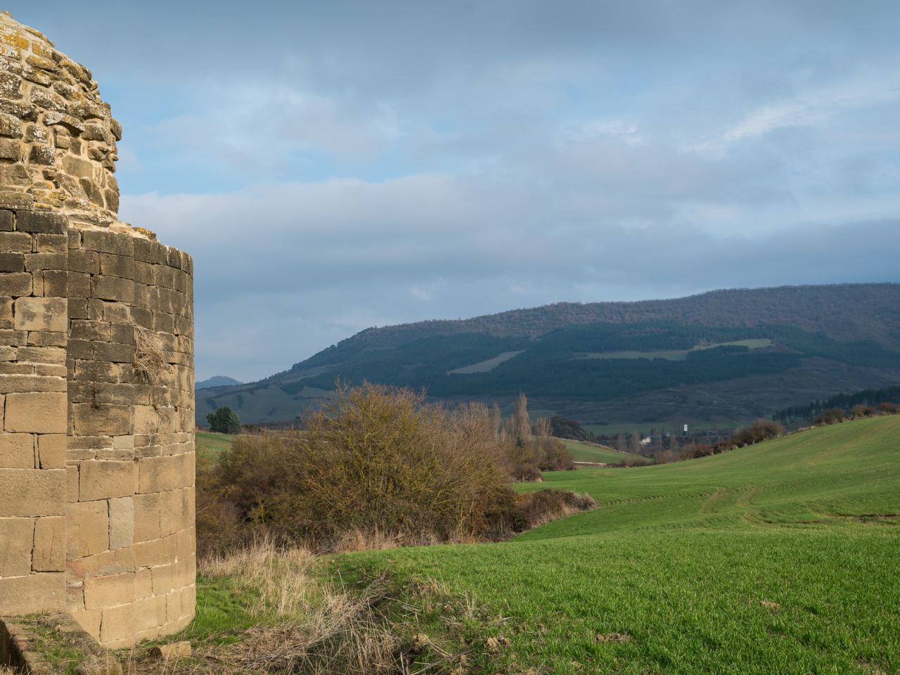
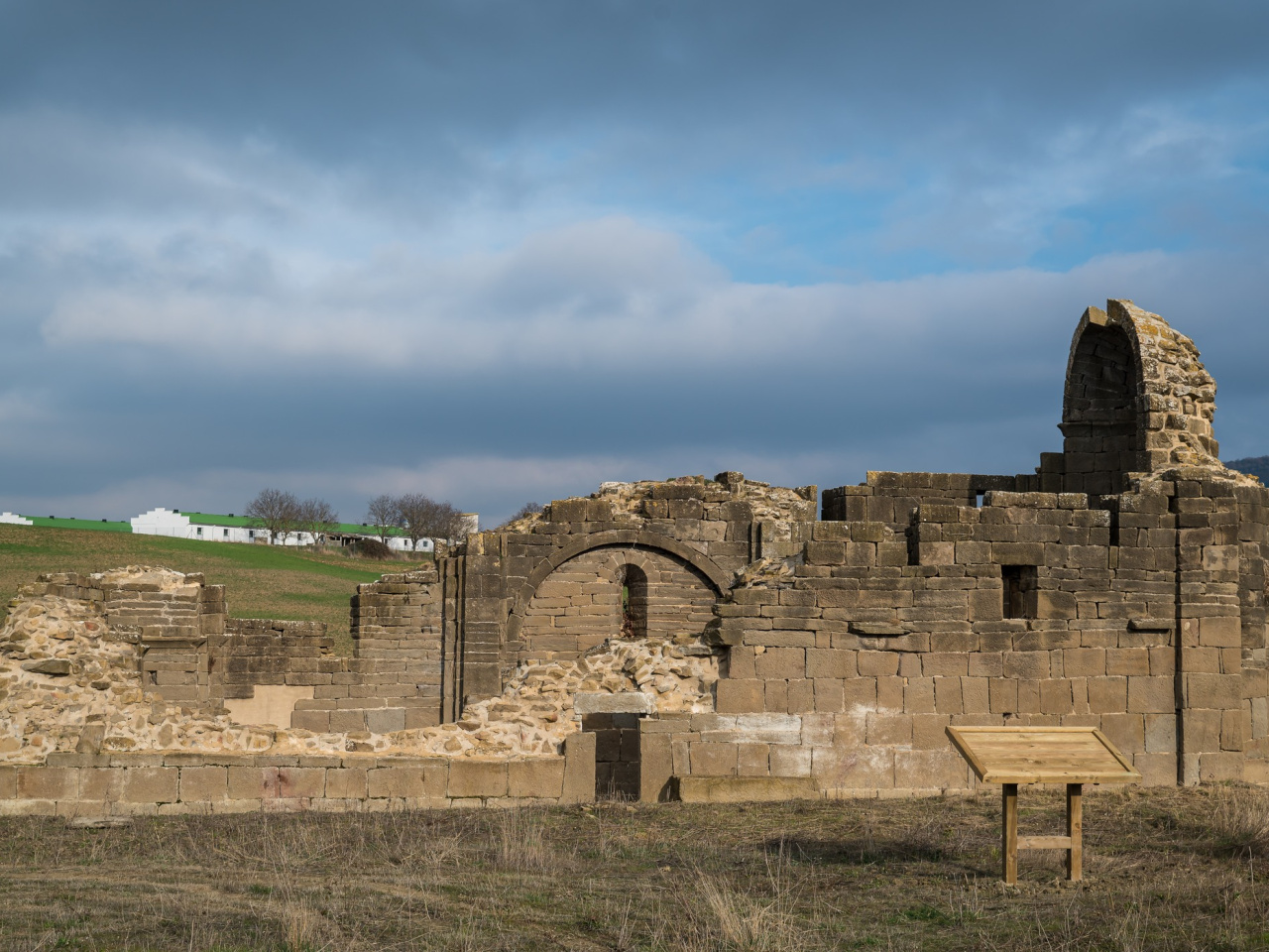
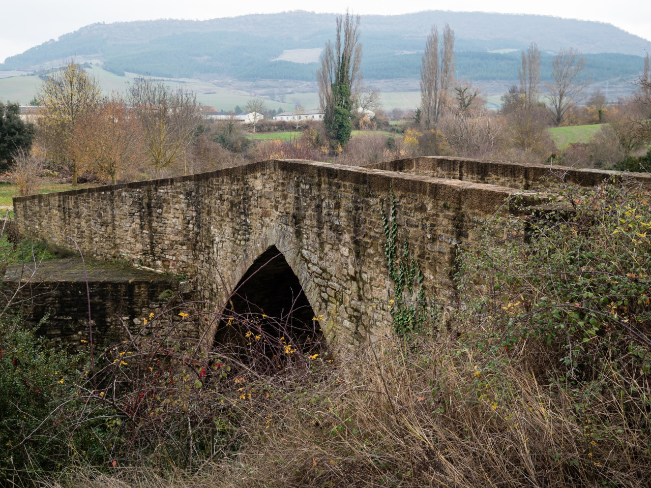
The route passes restored salt flats, a medieval bridge, and a historic chapel with an information panel. It is ideal for hiking and history enthusiasts.

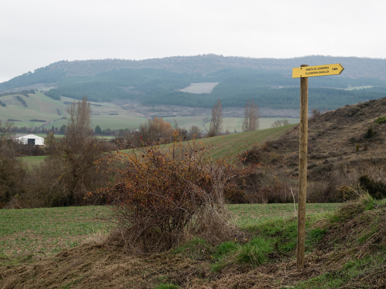
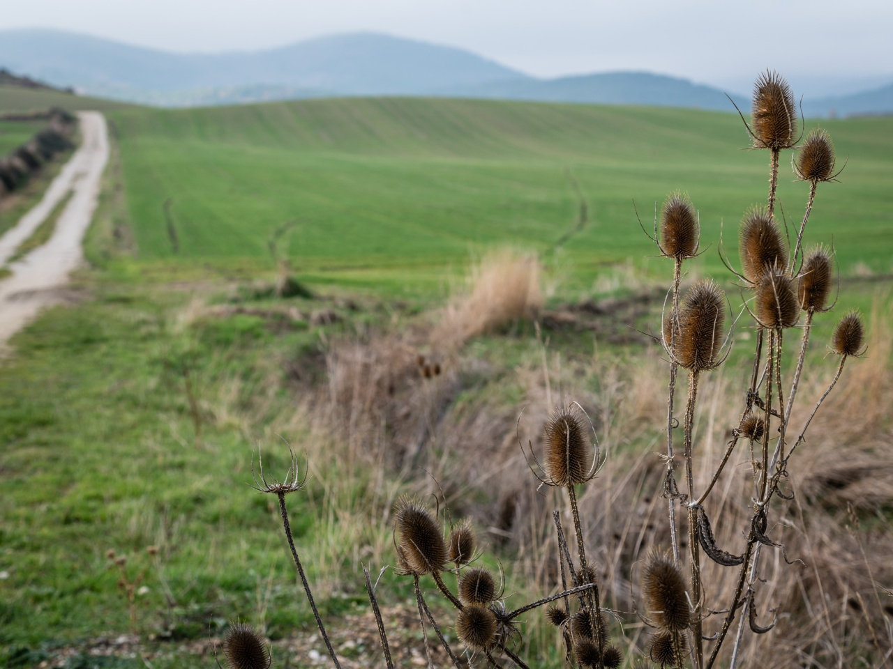
The route starts in the town center of Salinas de Ibargoiti, next to the restored salt flats. It crosses the village heading south to join the Camino de Santiago. After crossing the medieval bridge, the path continues along a rural track toward the Lizaberria chapel. The Elizaberria complex and its chapel hold great historical value, marked by an information panel. The return follows the same route.

Weather forecast

Salinas de Ibargoiti

Weather Image 19°C
Real feel 19°C
broken clouds
  • Tue
    22/09

    Weather Image

    24° /16°

    Humidity Image 36%

  • Wed
    23/09

    Weather Image

    30° /19°

    Humidity Image 25%

  • Thu
    24/09

    Weather Image

    32° /21°

    Humidity Image 22%