Trail to the Aurita and Lifuentes Springs

Trail to the Aurita and Lifuentes Springs

Route data

Caseda 30T x=633811 y=4709391
Distance
7.2 Km
Circular route
Difficulty
Very easy
Max. elevation
220 m.
Max. elevation
220 m.

Weather forecast

Cáseda

Weather Image 19°C
Real feel 19°
few clouds
  • Tue
    22/09

    Weather Image

    24° /17°

    Humidity Image 31%

  • Wed
    23/09

    Weather Image

    29° /18°

    Humidity Image 28%

  • Thu
    24/09

    Weather Image

    30° /21°

    Humidity Image 22%

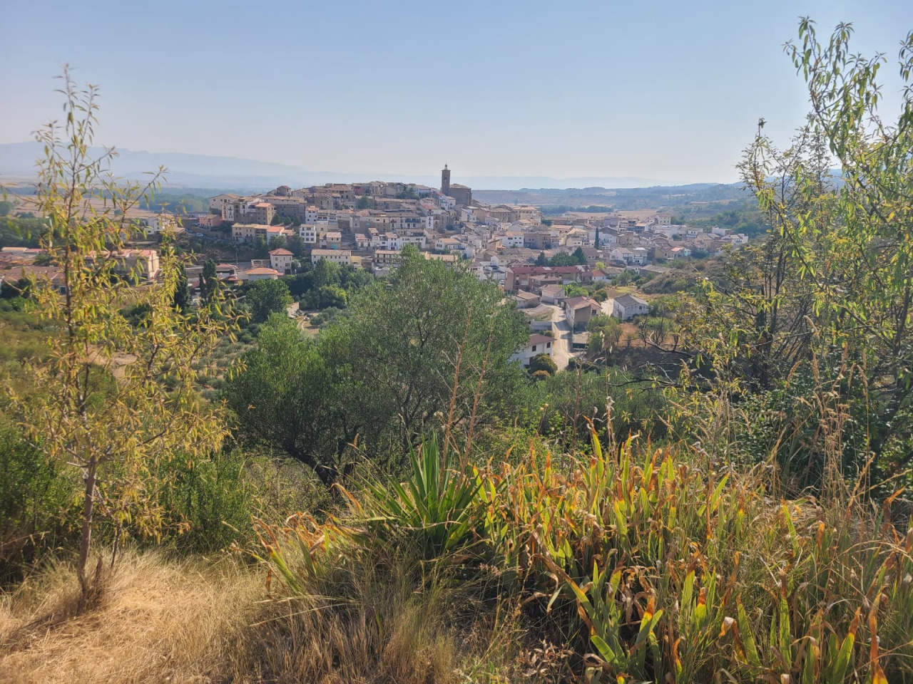
The route runs through a landscape of vineyards, olive trees, and almond trees, passing the Calvario chapel, a shepherd's hut, and a viewpoint for observing Bonelli's eagles.

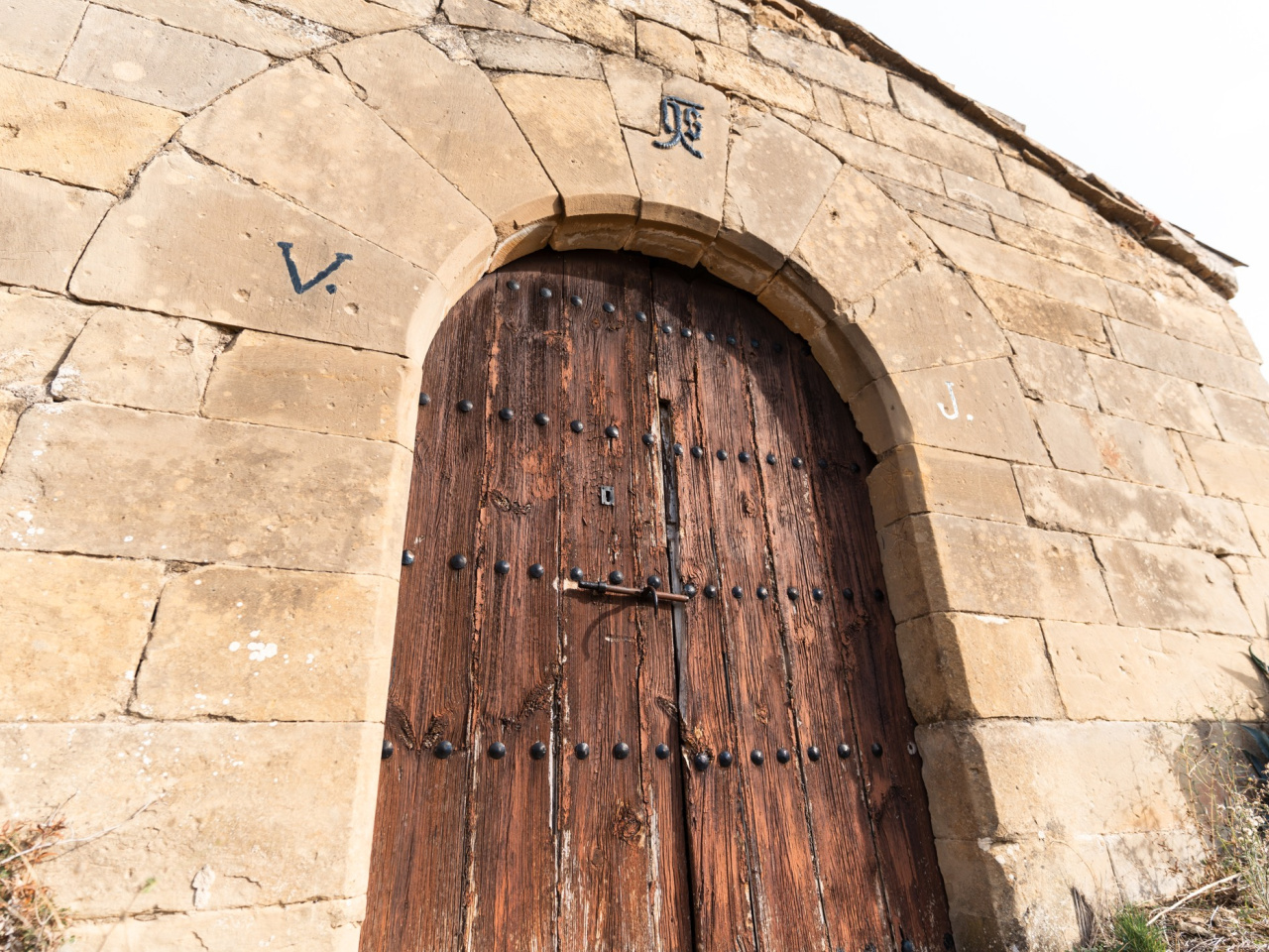
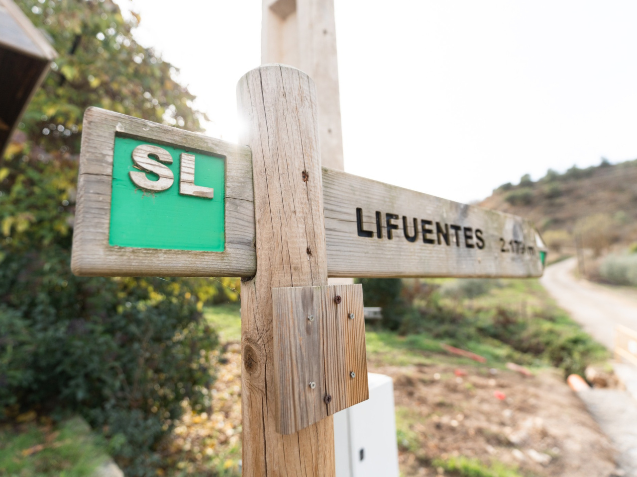
This trail leads to the Lifuentes and La Aurita springs, which supply water to the village of Cáseda. The Y-shaped route can be divided into two linear paths, one to each spring. It runs through a landscape of vineyards, olive groves, and almond trees, passing through ravines with dense vegetation. Highlights include the Calvario chapel, the cucurucho de Ibarra (a shepherd's hut with a false dome), and the remains of traditional stables. The area is also home to Bonelli's eagle, which can be spotted from a dedicated viewpoint overlooking the valley.

Weather forecast

Cáseda

Weather Image 19°C
Real feel 19°C
few clouds
  • Tue
    22/09

    Weather Image

    24° /17°

    Humidity Image 31%

  • Wed
    23/09

    Weather Image

    29° /18°

    Humidity Image 28%

  • Thu
    24/09

    Weather Image

    30° /21°

    Humidity Image 22%