CAÑADAS DE ARBAIUN TRAIL

CAÑADAS DE ARBAIUN TRAIL

Route data

Lumbier (Piscinas) - 30T x=639342 y=4723578
Distance
23.5 Km
Circular route
Difficulty
Medium
Max. elevation
195 m.
Max. elevation
195 m.

Weather forecast

Lumbier

Weather Image 19°C
Real feel 19°
scattered clouds
  • Tue
    22/09

    Weather Image

    24° /16°

    Humidity Image 32%

  • Wed
    23/09

    Weather Image

    30° /18°

    Humidity Image 26%

  • Thu
    24/09

    Weather Image

    31° /19°

    Humidity Image 21%

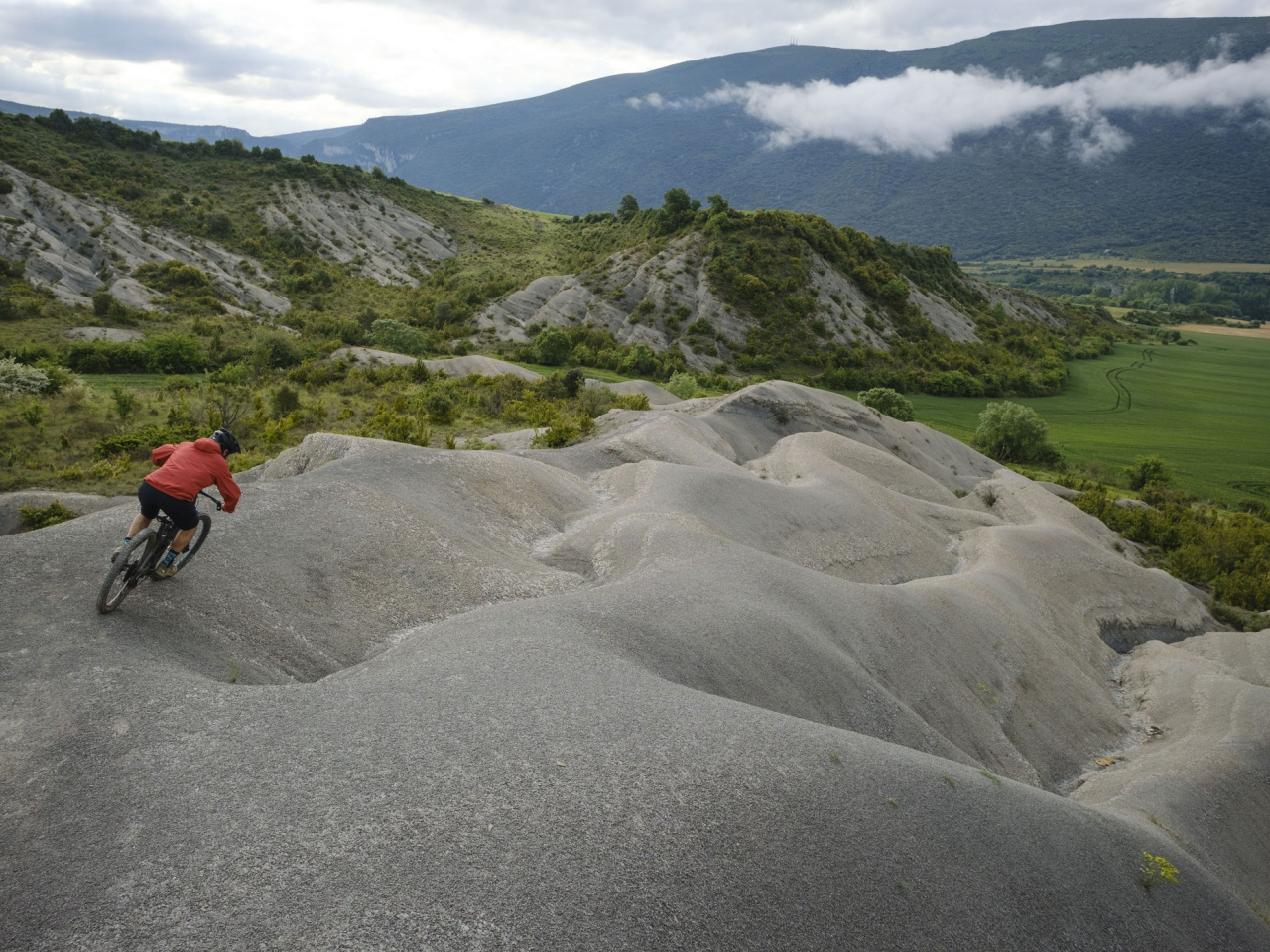
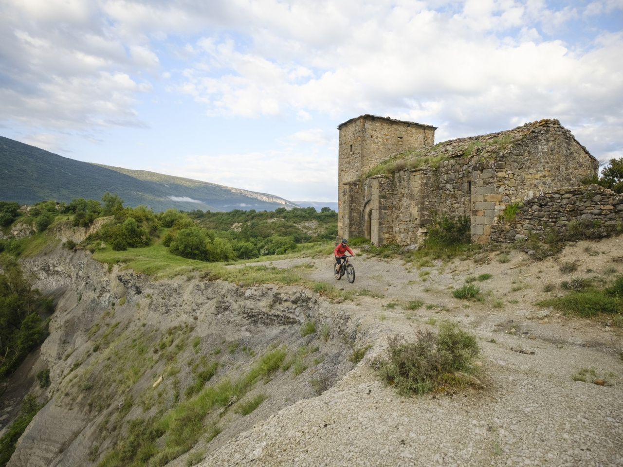
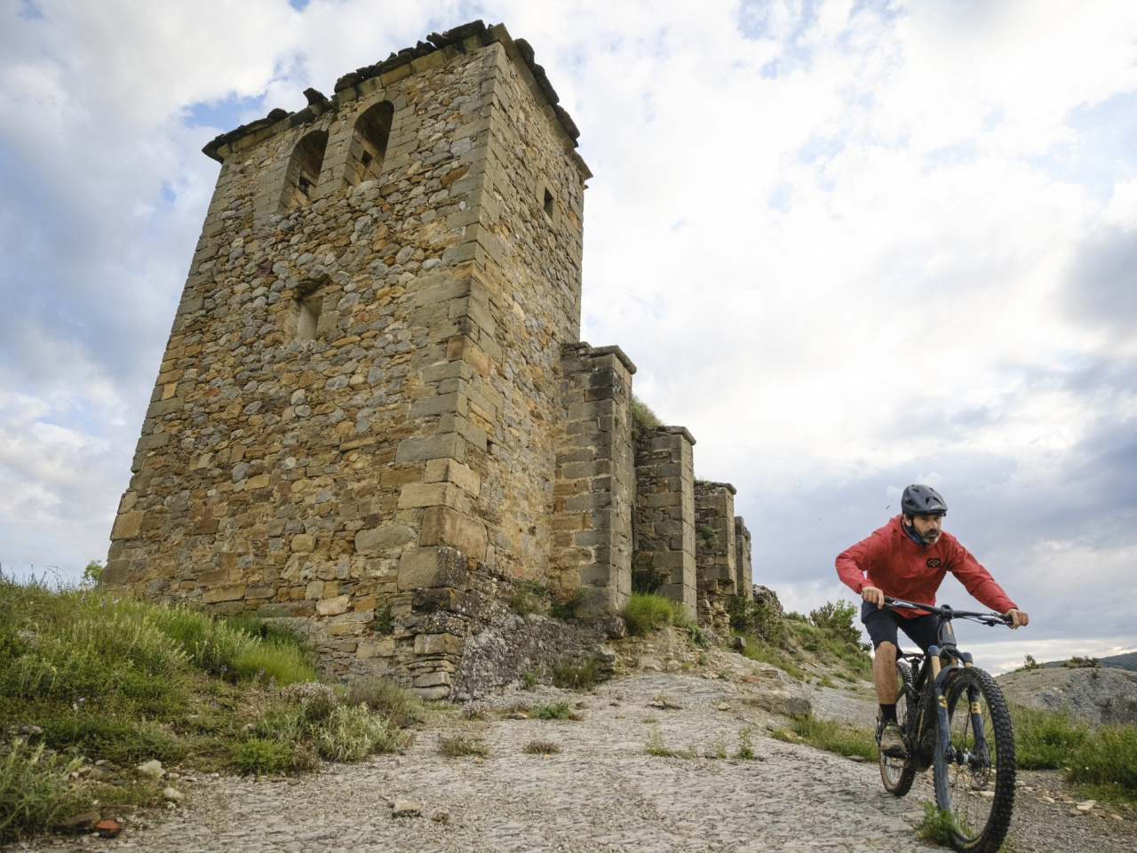
This picturesque route offers views of the Romanzado Valley and is ideal for hiking. It runs through ravines and rivers across stunning natural landscapes.

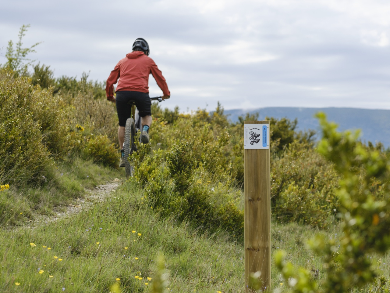
The route runs from Lumbier to the village of Usún through the picturesque Romanzado Valley. It starts in Lumbier and heads north along the Greenway to the village of Rípodas. From here, the trail continues northwest along the Cañada de los Salacencos to enter the Romanzado Valley. It passes the village of Arboniés and heads south along the Barranco de Jagües until it reaches Usún. The return route follows the Camino de Lumbier and crosses the Salazar River. If the river is in flood, the road provides an alternative return.

Weather forecast

Lumbier

Weather Image 19°C
Real feel 19°C
scattered clouds
  • Tue
    22/09

    Weather Image

    24° /16°

    Humidity Image 32%

  • Wed
    23/09

    Weather Image

    30° /18°

    Humidity Image 26%

  • Thu
    24/09

    Weather Image

    31° /19°

    Humidity Image 21%