BESOLLA TRAIL

BESOLLA TRAIL

Route data

Alto de Loiti - 30T x=630914 y=4723875
Distance
7.2 Km
Circular route
Difficulty
Very easy
Max. elevation
260 m.
Max. elevation
260 m.

Weather forecast

Leache

Weather Image 18°C
Real feel 17°
broken clouds
  • Tue
    22/09

    Weather Image

    23° /15°

    Humidity Image 33%

  • Wed
    23/09

    Weather Image

    30° /19°

    Humidity Image 26%

  • Thu
    24/09

    Weather Image

    32° /21°

    Humidity Image 21%

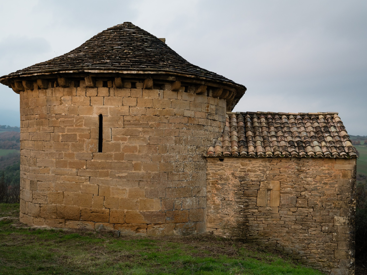
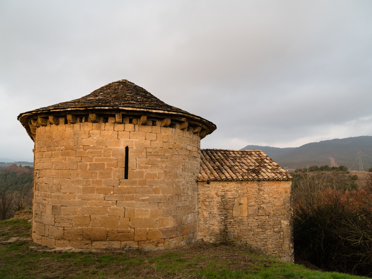
This linear route offers panoramic views of the Sierra de Izaga and the Church of Santa Maria de Vesolla, providing a quiet setting to enjoy the landscape.

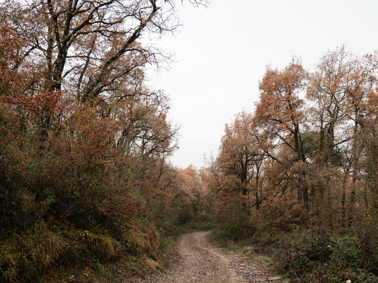
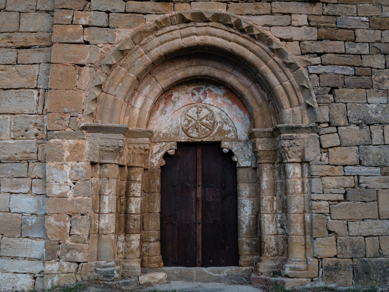
This linear route begins at the top of the Loiti Pass, next to the Camino de Olatz and the bridge crossing the motorway. After crossing the bridge, the path follows the Camino de Besolla in a northeasterly direction. After 3 kilometers, it reaches the uninhabited manor of Besolla and the Church of Santa Maria de Vesolla. This point offers a panoramic view of the Sierra de Izaga and its foothills, including the estate of Guerguitiain and other villages in the Lower Urraul Valley. The return journey follows the same path.

Weather forecast

Leache

Weather Image 18°C
Real feel 17°C
broken clouds
  • Tue
    22/09

    Weather Image

    23° /15°

    Humidity Image 33%

  • Wed
    23/09

    Weather Image

    30° /19°

    Humidity Image 26%

  • Thu
    24/09

    Weather Image

    32° /21°

    Humidity Image 21%