MTB Route Paco Ugasti

MTB Route Paco Ugasti

Route data

Sangüesa - 30T x=643043 y=4715950
Distance
5.3 Km
Circular route
Difficulty
Very easy
Max. elevation
165 m.
Max. elevation
165 m.

Weather forecast

Liédena

Weather Image 20°C
Real feel 19°
scattered clouds
  • Tue
    22/09

    Weather Image

    25° /17°

    Humidity Image 29%

  • Wed
    23/09

    Weather Image

    30° /19°

    Humidity Image 26%

  • Thu
    24/09

    Weather Image

    32° /20°

    Humidity Image 21%

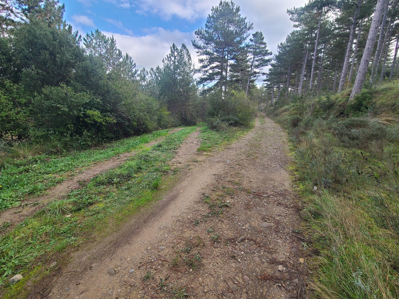
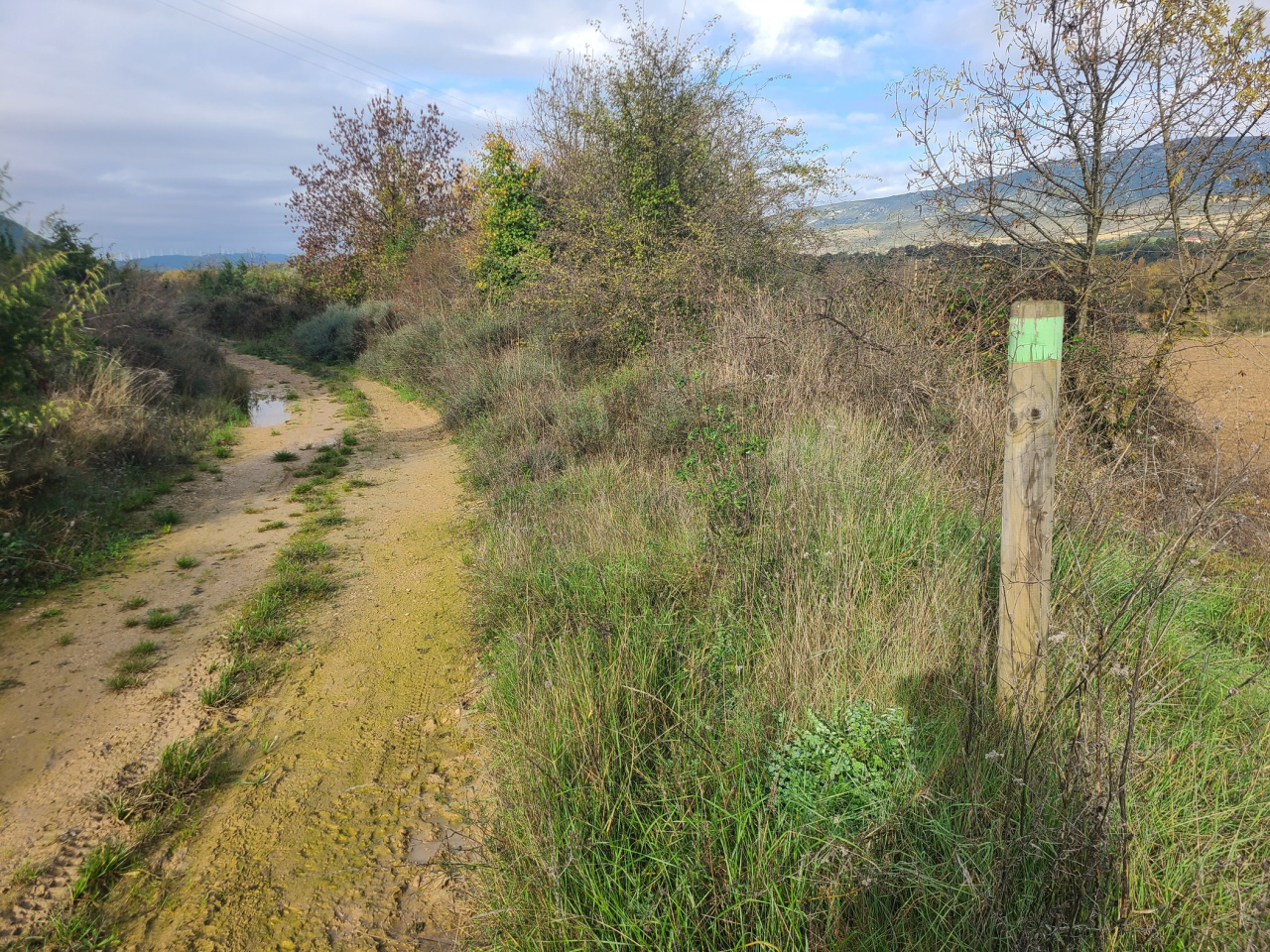
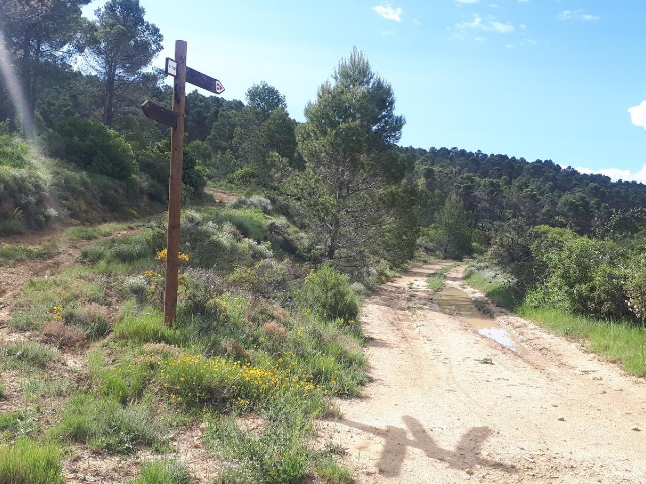
An ideal route for hiking and cycling, with sections for BMX and children's circuits, in a natural setting with wide tracks and a path through pine forests.

The route suits both hikers and cyclists. It runs through the Mount Ugarte area between Sangüesa and Javier. Most of the path follows a wide track, except for a short downhill trail through a pine forest. The route offers two alternatives: a BMX descent and a small bike circuit for children. The indicated starting point sits nearly two kilometers from the actual start of the trail.

Weather forecast

Liédena

Weather Image 20°C
Real feel 19°C
scattered clouds
  • Tue
    22/09

    Weather Image

    25° /17°

    Humidity Image 29%

  • Wed
    23/09

    Weather Image

    30° /19°

    Humidity Image 26%

  • Thu
    24/09

    Weather Image

    32° /20°

    Humidity Image 21%