Route 2 – Peña Zarikieta

 Back
Back 

Route data
Aoiz - 30T x=633537 y=4738459
Aoiz - 30T x=633537 y=4738459

Distance
19.8 Km
Circular route

Difficulty
Medium

Max. elevation
810 m.

Max. elevation
810 m.
Weather forecast
Lónguida/Longida
 19°C
19°CReal feel 18°
broken clouds
-
Tue
22/09
22° /14°
 36%
36%
-
Wed
23/0926° /16°
28%
-
Thu
24/09
28° /17°
22%
Scenic routes offer panoramic views and cross medieval bridges along historic paths ideal for hiking.
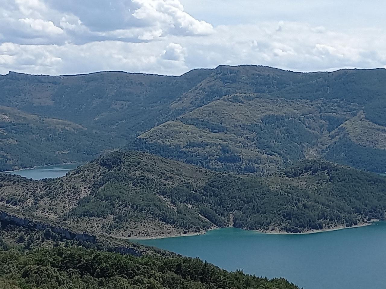
The route starts at the church of San Miguel in Aoiz and crosses the medieval bridge towards the village of Auzola. It climbs the Sierra de Zarikieta, passing through La Peña and El Paco de las Diez, reaches the summit of Peña Zarikieta, and returns along the Camino de Auzola.
Weather forecast
Lónguida/Longida
19°CReal feel 18°C
broken clouds
-
Tue
22/0922° /14°
36%
-
Wed
23/0926° /16°
28%
-
Thu
24/0928° /17°
22%