SANTA CRIZ DE ESLAVA TOUR

 Back
Back 

Route data
Eslava - 30T x=626539 y=4713576
Eslava - 30T x=626539 y=4713576

Distance
9.8 Km
Circular route

Difficulty
Easy

Max. elevation
175 m.

Max. elevation
175 m.
Weather forecast
Eslava
 21°C
21°CReal feel 20°
scattered clouds
-
Tue
22/09
24° /16°
 34%
34%
-
Wed
23/0930° /20°
28%
-
Thu
24/09
32° /23°
22%
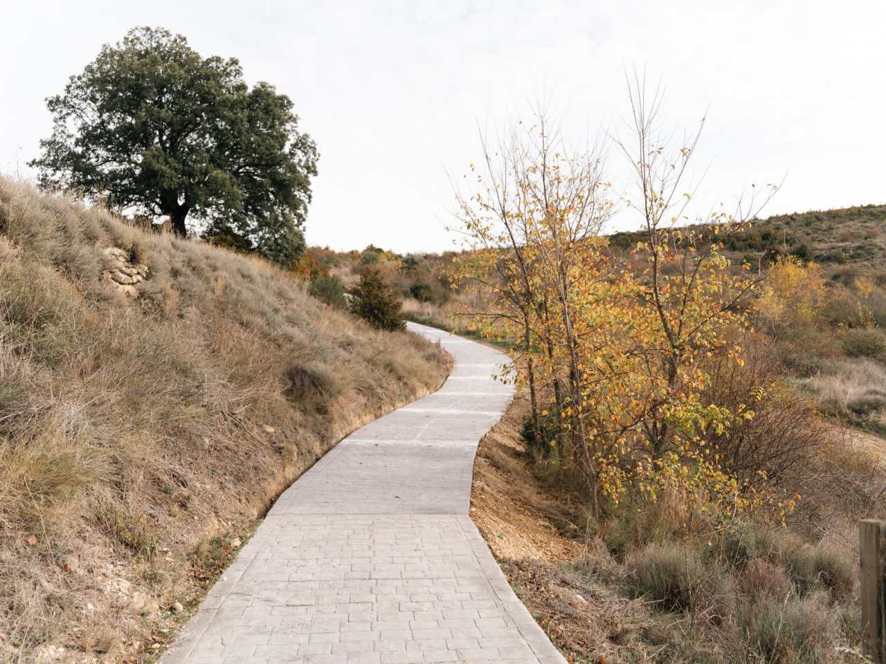
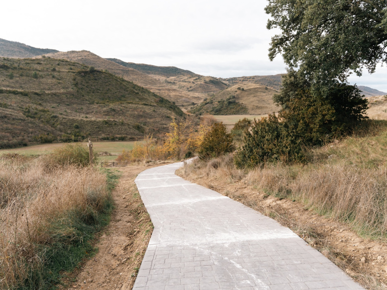
This archaeological route offers panoramic views and explores an ancient hill fort and Roman village in a strategic and picturesque setting.
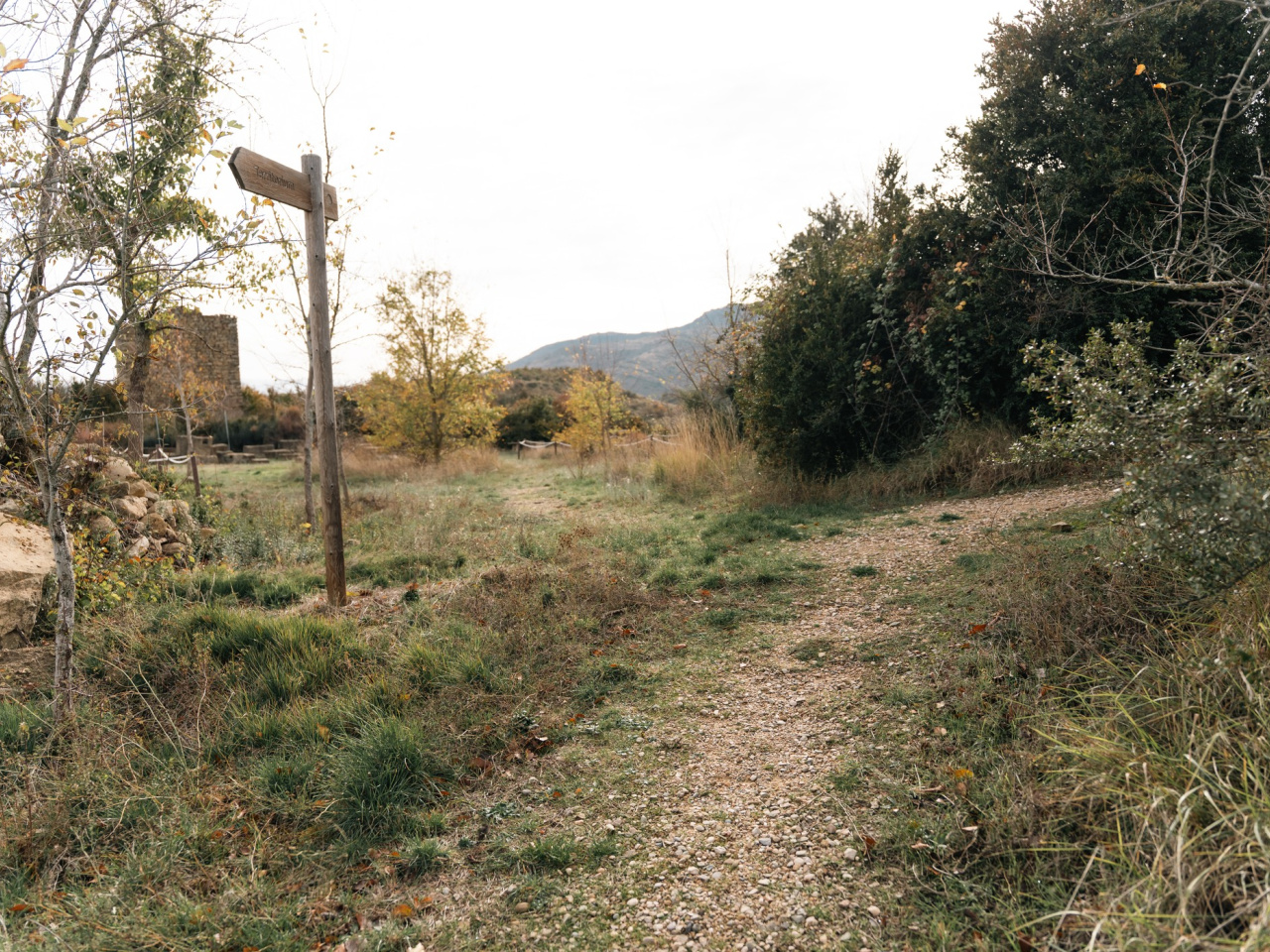
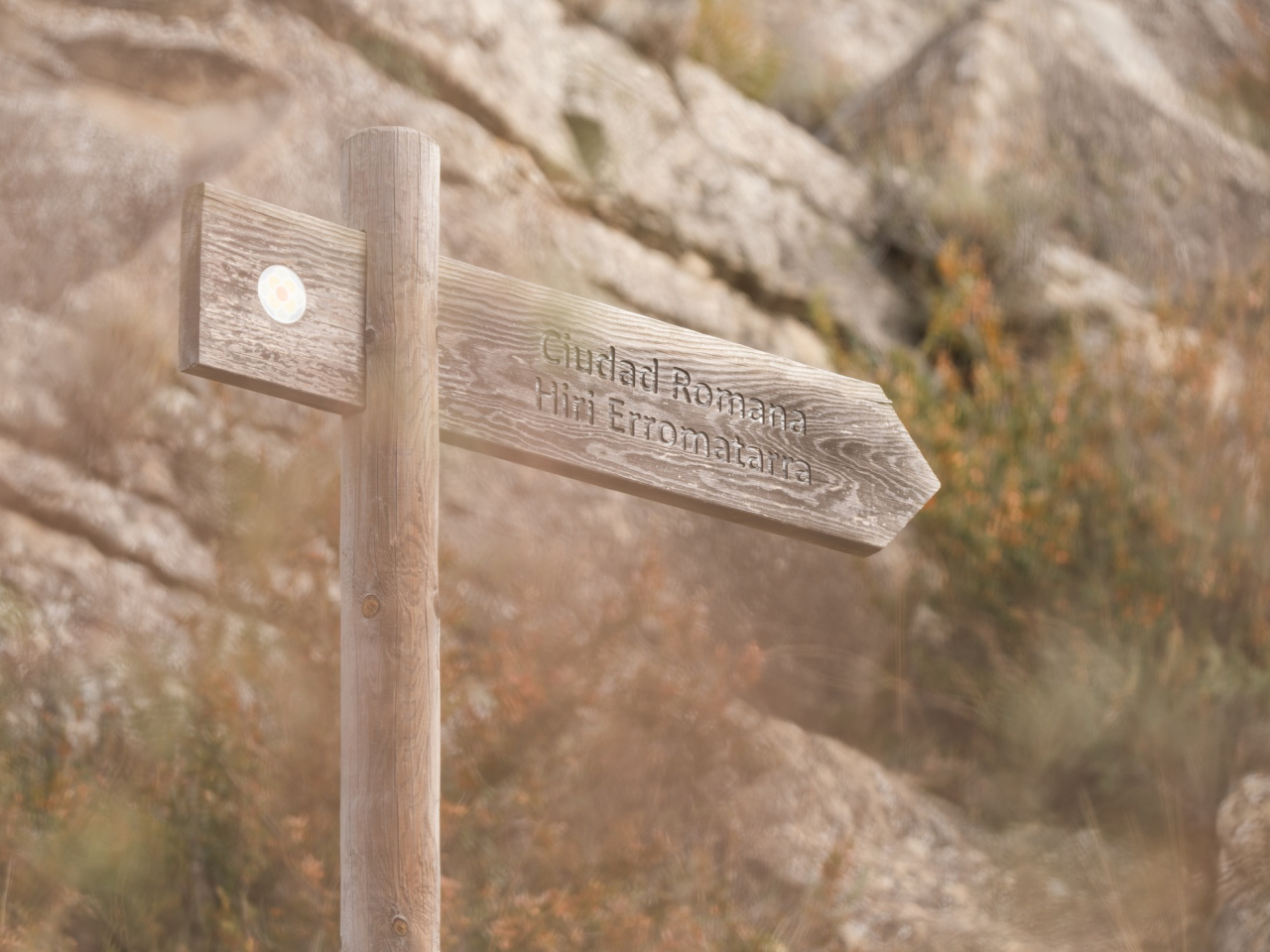
The route begins in Eslava. It gains little elevation, except for the climb up the hill to the archaeological site. This path leads to Santa Criz or Santa Cris, one of the most important archaeological sites in Navarre. The hill of Santa Criz, located two kilometres south of the village of Eslava, served as an important hill fort during the Iron Age, featuring a citadel and double walls. Following the Romanisation of the area, it became one of the main Roman cities in the territory now occupied by the Autonomous Community of Navarre.
The city occupied a strategic location in the centre of the Val de Aibar, within the transition zone between the Pyrenees and the Ebro Valley. The hill hosting the archaeological site serves as a splendid vantage point today, offering panoramic views that reach the Pyrenees and dominate the entire valley.
Weather forecast
Eslava
21°CReal feel 20°C
scattered clouds
-
Tue
22/0924° /16°
34%
-
Wed
23/0930° /20°
28%
-
Thu
24/0932° /23°
22%