GR01-SAN ZOILO-CASEDA-GALLIPIENZO

 Back
Back 

Route data
Ermita San Zoilo - 30T x=635630 y=4707740
Gallipienzo - 30T x=630525 y=4709187

Distance
7.8 Km
Lineal route

Difficulty
Easy

Max. elevation
230 m.

Max. elevation
180 m.
Weather forecast
Cáseda
 20°C
20°CReal feel 20°
broken clouds
-
Tue
22/09
24° /17°
 31%
31%
-
Wed
23/09
29° /18°
28%
-
Thu
24/09
30° /21°
22%
14th-century chapel and panoramic views from the mountains over the River Aragon, with patches of primeval forest in a nature reserve.
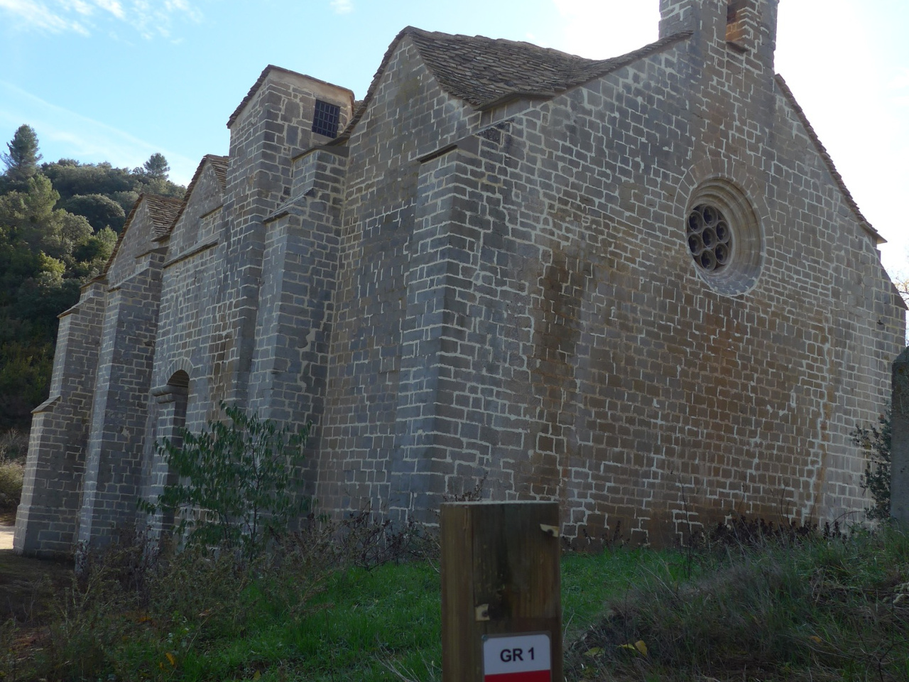
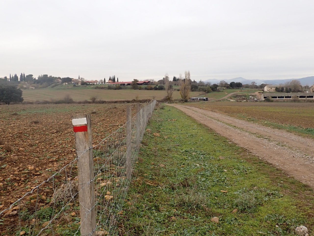
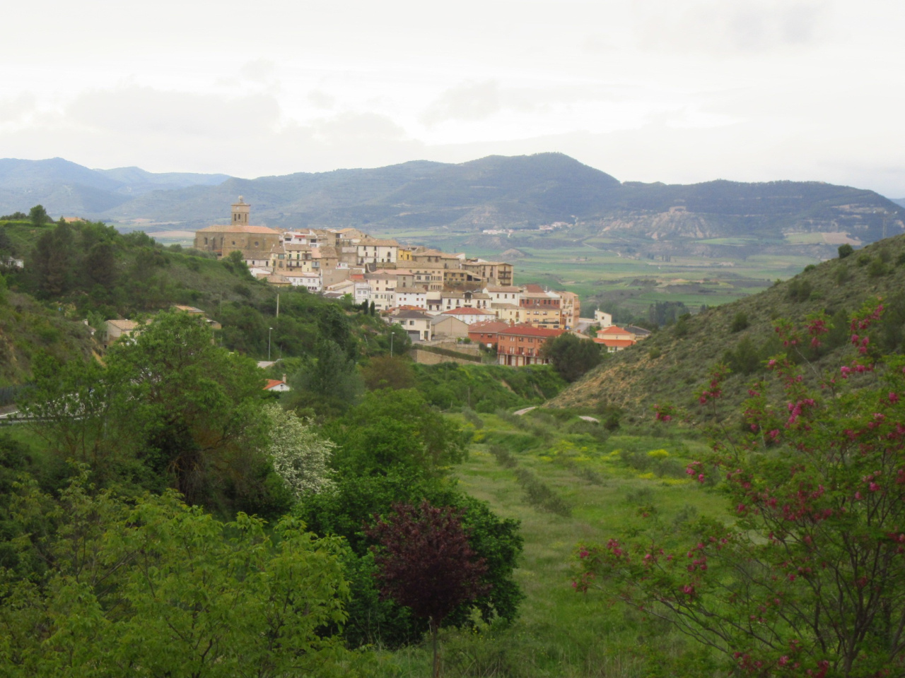
The GR® 1 follows ancient cattle trails on its route through Navarre between Torre de Peña and Cáseda. Shortly before Cáseda, the trail passes the chapel of San Zoilo, a 14th-century basilica declared a Site of Cultural Interest. For years, it served as the meeting place for a brotherhood founded in 1204 to fight the highwaymen who ravaged these borderlands. These southern mountains mark the boundary between the Pyrenean foothills and the Ribera plain. Holm oaks and oak groves once covered the rounded relief, but today only a few remnants of the original forest remain near the Kaparreta nature reserve. From Cáseda, the village of Gallipienzo/Galipentzu stands out, perched on the ridgeline above the Aragón river.
Weather forecast
Cáseda
20°CReal feel 20°C
broken clouds
-
Tue
22/0924° /17°
31%
-
Wed
23/0929° /18°
28%
-
Thu
24/0930° /21°
22%