Camino de Santiago (Aragonese)

Camino de Santiago (Aragonese)

Route data

Muga Navarra/Aragón - 30T x=647416 y=4714886
Zona de Monreal - 30T x=619335 y=4729699
Distance
39 Km
Lineal route
Difficulty
Medium
Max. elevation
560 m.
Max. elevation
520 m.

Weather forecast

Ibargoiti

Weather Image 19°C
Real feel 19°
overcast clouds
  • Tue
    22/09

    Weather Image

    22° /15°

    Humidity Image 37%

  • Wed
    23/09

    Weather Image

    29° /17°

    Humidity Image 26%

  • Thu
    24/09

    Weather Image

    30° /21°

    Humidity Image 22%

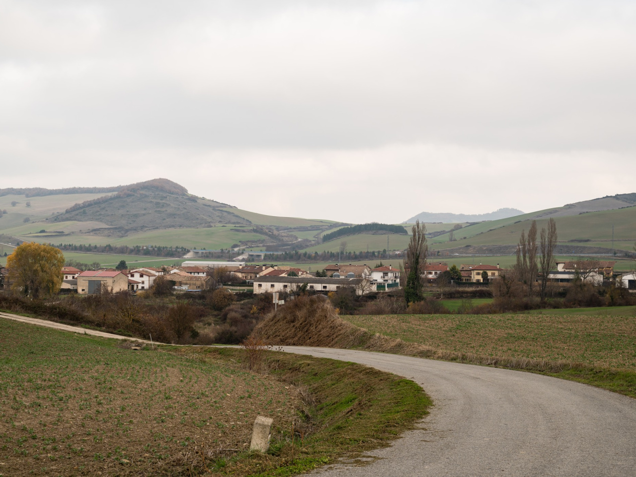
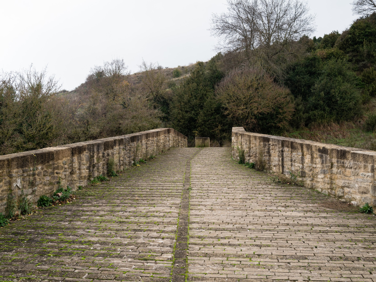
A less travelled route, offering unique landscapes and historic charm in Sangüesa and Monreal, ideal for those seeking tranquillity and natural beauty.

Also known as the French Way by Aragon, this route forms part of the French Way alongside the Navarrese Way from Roncesvalles. This section of the Way of St James connects Somport on the Spanish-French border with Puente la Reina in Navarre. The main attractions where the route runs through the Navarrese Pre-Pyrenees include Sangüesa and Monreal. It travels northwest toward Monreal before turning west to Puente la Reina, where it merges with the other Camino de Santiago route. This route remains quieter than the alternative due to a lower density of accommodation.

Weather forecast

Ibargoiti

Weather Image 19°C
Real feel 19°C
overcast clouds
  • Tue
    22/09

    Weather Image

    22° /15°

    Humidity Image 37%

  • Wed
    23/09

    Weather Image

    29° /17°

    Humidity Image 26%

  • Thu
    24/09

    Weather Image

    30° /21°

    Humidity Image 22%