ROMAN ROAD OF THE PYRENEES

ROMAN ROAD OF THE PYRENEES

Route data

Zazpe - 30T x=630391 y=4741327
Camping Urrobi - 30T x=634345 y=4759137
Distance
26.8 Km
Lineal route
Difficulty
Difficult
Max. elevation
720 m.
Max. elevation
400 m.

Weather forecast

Garralda

Weather Image 20°C
Real feel 20°
overcast clouds
  • Tue
    22/09

    Weather Image

    23° /15°

    Humidity Image 45%

  • Wed
    23/09

    Weather Image

    25° /16°

    Humidity Image 40%

  • Thu
    24/09

    Weather Image

    30° /20°

    Humidity Image 26%

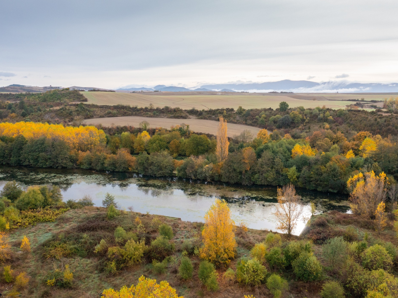
This ideal family trail traverses changing landscapes and picturesque villages. The route runs near an archaeological site and a recreational bathing area.

The trail runs through Artzibar/Valle de Arce from north to south and showcases the changing landscape between the Pyrenean foothills and the forest. The route avoids steep slopes for most of its length, making it ideal for hiking with family or friends. The route passes through picturesque villages in the valley, such as Nagore, Uriz, Urdirotz, Saragüeta, and Lusarreta. It also runs just a few meters from the Artzi/Arce archaeological site, located on the estate of the same name, where you can visit the Romanesque church of Santa María or the palace with a nearby recreational bathing area.

Weather forecast

Garralda

Weather Image 20°C
Real feel 20°C
overcast clouds
  • Tue
    22/09

    Weather Image

    23° /15°

    Humidity Image 45%

  • Wed
    23/09

    Weather Image

    25° /16°

    Humidity Image 40%

  • Thu
    24/09

    Weather Image

    30° /20°

    Humidity Image 26%