ROITA CASTLE CIRCULAR

 Back
Back 

Route data
Caseta forestal junto a la carretera NA-5700 (Km 7,5) / NA-5700 errepide ondoko baso etxola (Km 7,5
Carreterea NA-5700 (Km 7,5) / NA-5700 errepidea (Km 7,5)

Distance
10 Km
Circular route

Difficulty
Easy

Max. elevation
340 m.

Max. elevation
340 m.
Weather forecast
Petilla de Aragón
 19°C
19°CReal feel 18°
few clouds
-
Tue
22/09
24° /16°
 28%
28%
-
Wed
23/0929° /20°
31%
-
Thu
24/09
31° /22°
20%
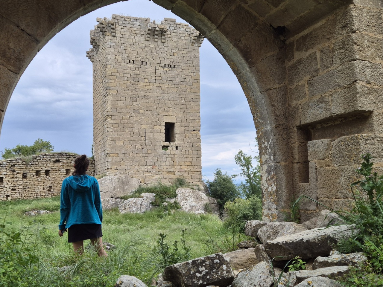
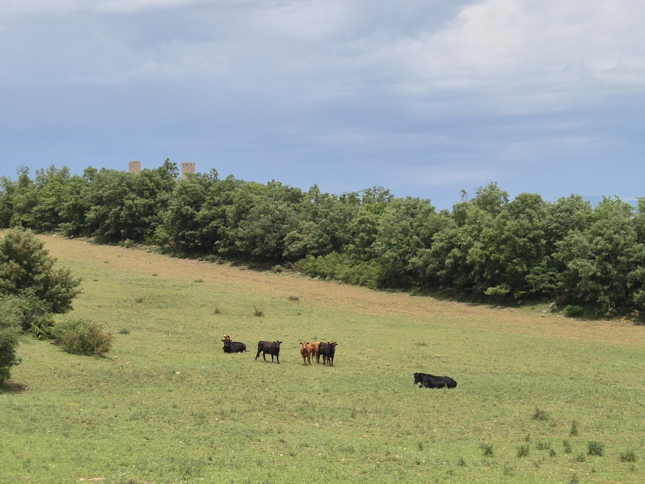
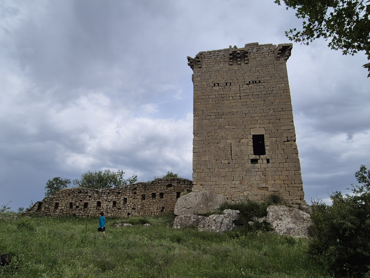
Route offering panoramic views combining forest with historical heritage to provide a unique natural and cultural experience.
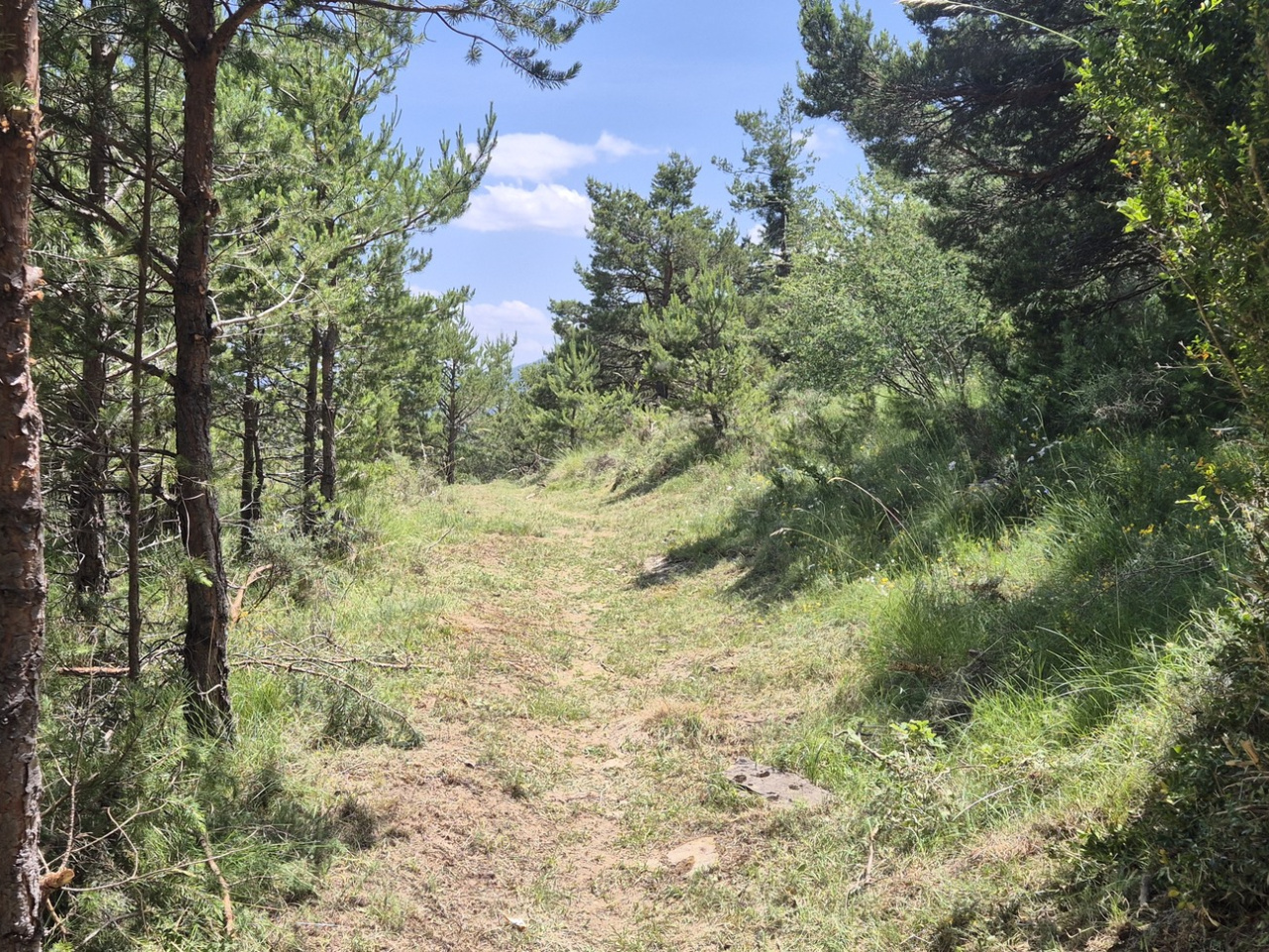
The route starts at the forest hut next to the road, climbs a track towards Las Planas, and enters a forest path that emerges at Roita Castle. After the castle, the route descends along the track until it reaches the GR-1 and joins a section of path that ends at a track. The final meters follow the road back to the starting point.
Weather forecast
Petilla de Aragón
19°CReal feel 18°C
few clouds
-
Tue
22/0924° /16°
28%
-
Wed
23/0929° /20°
31%
-
Thu
24/0931° /22°
20%